yahoo Press
How much snow will New York City get? Latest inch count predictions
Images

1 / 20
2 / 20
3 / 20
4 / 20
5 / 20
6 / 20
7 / 20
8 / 20
9 / 20
10 / 20
11 / 20
12 / 20
13 / 20
14 / 20
15 / 20
16 / 20
17 / 20
18 / 20
19 / 20
20 / 20
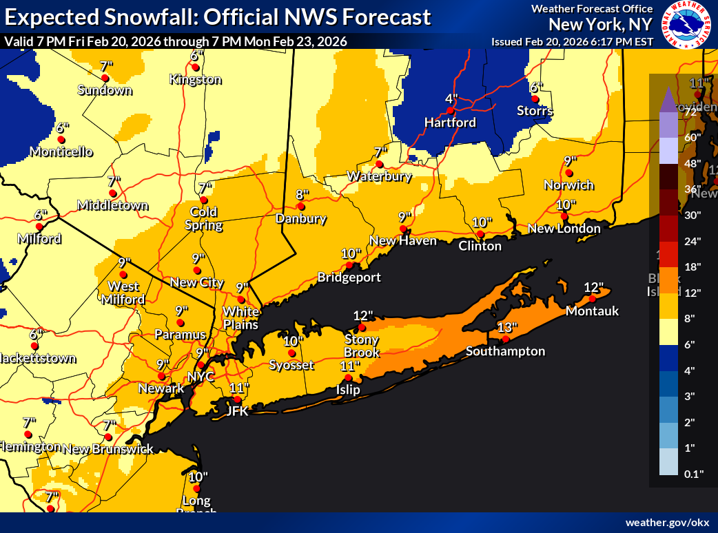
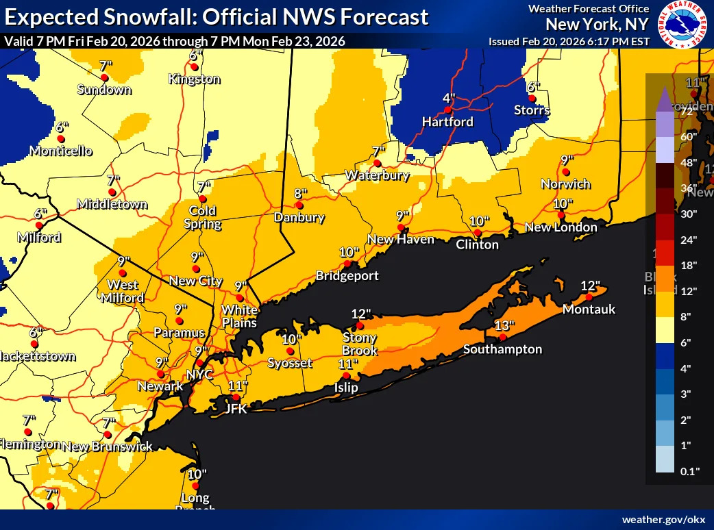
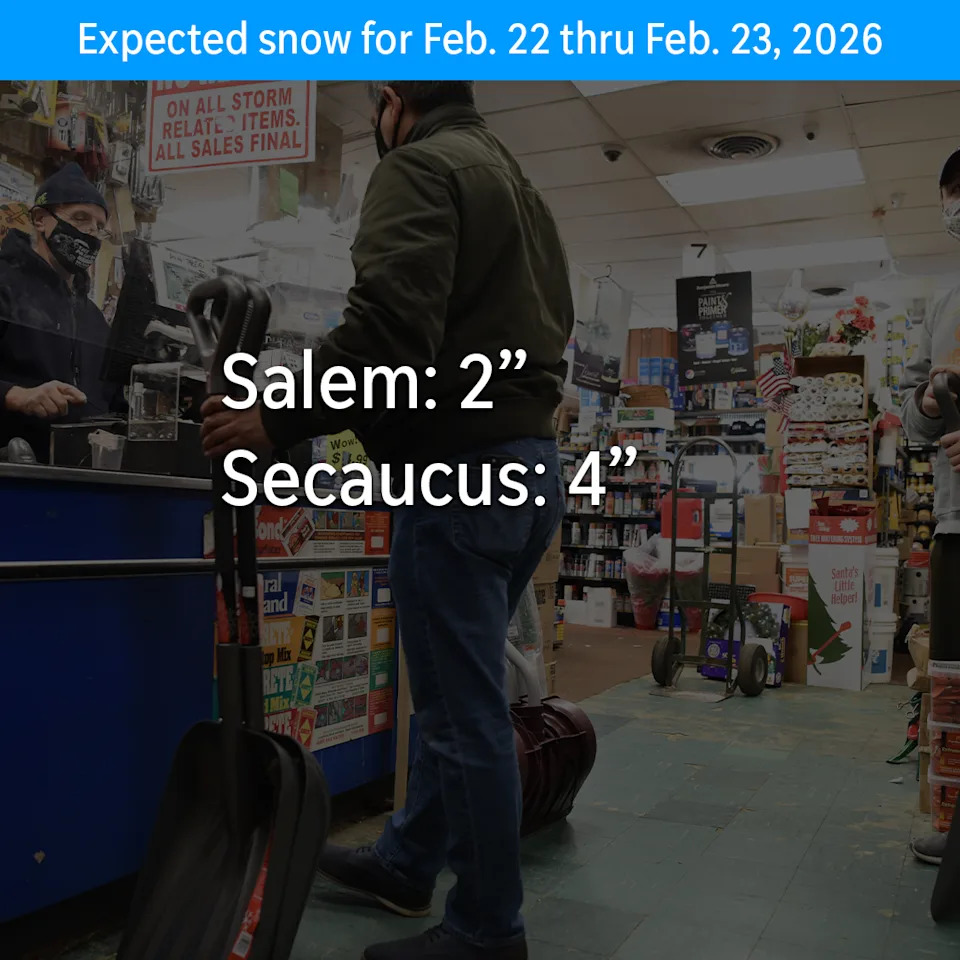
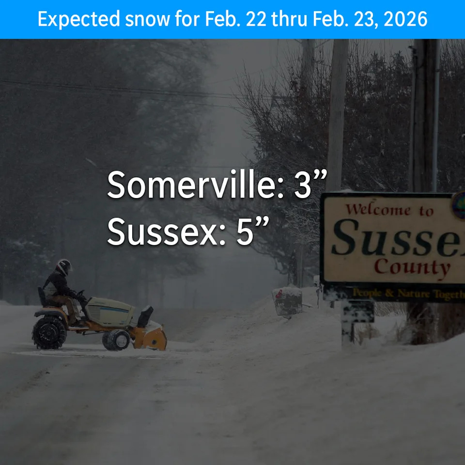
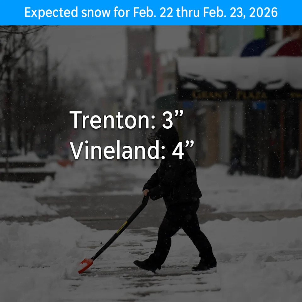
Update: Blizzard warning issued for NYC Sunday. What does that mean in inches? When's peak time for the storm?

New York City appears to be in for its second major snowstorm this winter.

The latest forecast from the National Weather Service calls for a nor'easter this weekend, showing the Metro New York area is in for anywhere from 9 inches in New York City to a foot of snow way out on the tip of Long Island.

"A widespread accumulating snowfall is expected, with significant to major accumulations looking more likely, especially closer to the coast. Blizzard conditions are possible across Central and Eastern LI," the NWS said.

The entire region is under a winter storm watch from Sunday, Feb. 22 into Monday, Feb. 23.

Here are the latest predicted snowfall totals for the New York City area, as of 6:30 p.m. on Friday, Feb. 20: (For New Jersey inch county predictions, click here.)

New York City: 9"

Babylon, NY: 11"

Brewster, NY: 8"

Center Moriches, NY: 13"

Centereach, NY: 11"

Cold Spring, NY: 7"

Coney Island, NY: 10"

Deer Park, NY: 9"

East Setauket, NY: 12"

Flatbush, NY: 9"

Flushing, NY: 9"

Glen Cove, NY: 10"

Hauppauge, NY: 10"

Islip, NY: 11"

Jamaica, NY: 9"

JFK Airport, NY: 11"

LaGuardia Airport, NY: 9"

Nanuet, NY: 9"

Oyster Bay, NY: 10"

Port Jefferson, NY: 12"

Rockaway Beach, NY: 12"

Southampton, NY: 13"

Stony Brook, NY: 12"

Valley Stream, NY: 9"

White Plains, NY: 9"

This article originally appeared on NorthJersey.com: How much snow will New York City get? Inch count predictions